
Extreme Supply Corporation provides RTK stockpile measurements, construction mapping and progress documentation, aerial photography, and forestry services including tree counts, reforestation checks, canopy health monitoring, and disease, insect, storm, or fire damage assessment across South Georgia and North Florida.
Aerial Photography
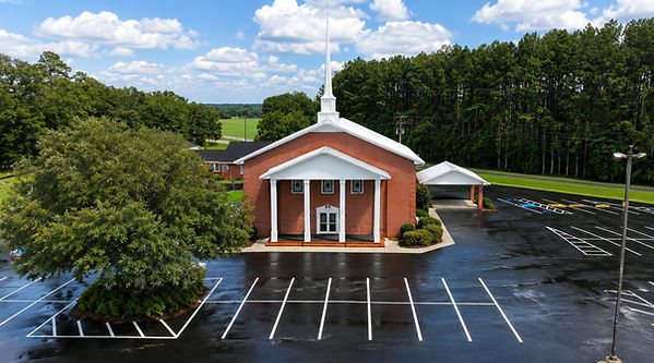
Capture stunning high-resolution aerial photos for businesses, commercial properties, farms, construction projects, events, and real estate. Professional drone imagery provides a unique perspective that showcases your property, documents progress, and creates compelling marketing content.
Stockpile & Volume Measurement
Accurate drone-based stockpile and bulk material measurements using RTK positioning and 3D mapping. Get documented volume reports for aggregate, sand, fill dirt, RAP, asphalt millings, and other materials. Available for one-time measurements or recurring inventory tracking.


High-resolution aerial mapping and site documentation for construction, excavation, development, and earthwork projects. Track site conditions, material movement, drainage, and project progress with repeatable aerial imagery and 3D mapping.


Why Choose Us
-
FAA Part 107 Certified
-
RTK-Enabled Precision Mapping
-
Accurate Stockpile & Volume Measurements
-
High-Resolution Aerial Imaging & 3D Models
-
Fast, Repeatable Reporting
-
Fully Insured
-
Serving South Georgia & North Florida


